

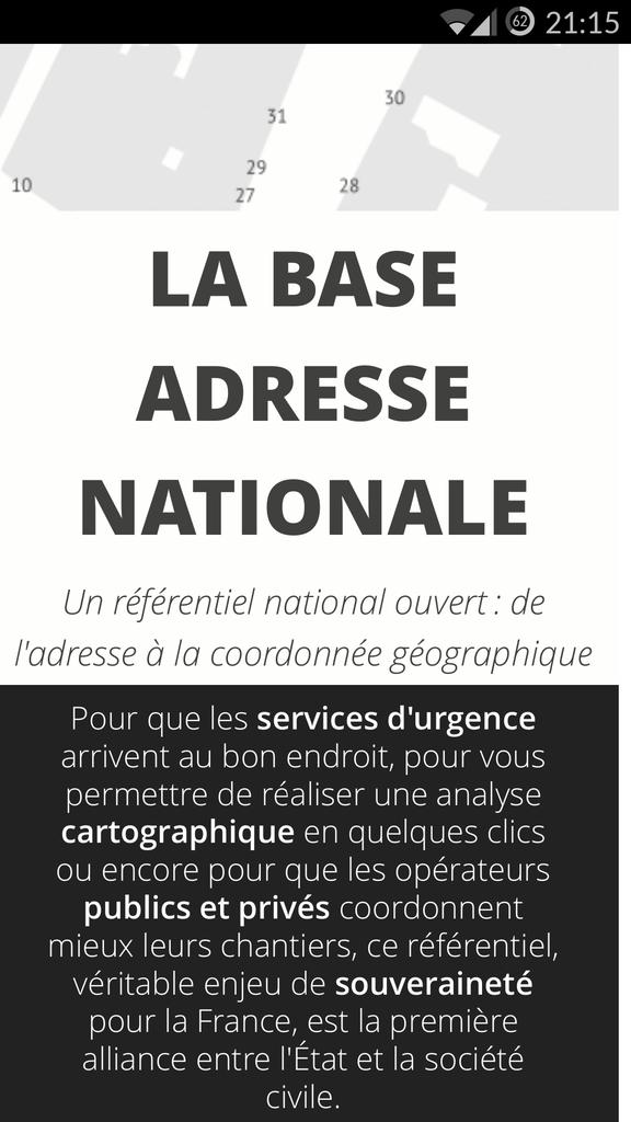
On April 15th, Thierry Mandon, Secretary of State for State Reform and Simplification, inaugurated the launch of a collaborative and free French National Address Database (“Base Adresse Nationale” – BAN), a pioneer of its kind : http://adresse.data.gouv.fr/
The BAN associates each address listed on the French territory (25 million addresses) with its geographic coordinates. It does not contain any nominative data. It was built from addresses databases of La Poste, the National Geographic and Forest Information Institute (IGN) and the Public Finances General Directorate (DGFIP). It was then enriched by data produced by governmental agencies, and will be fueled by citizen contributions.
On adresse.data.gouv.fr, municipalities, enterprises and citizens can contribute and freely use this database on the principles of collaboration (share, improve and reuse a common good).
 Three levels of services are offered to individuals, enterprises and local governments:
- Free download of address files;
- The first French geocoder comparable to web tools provided by internet large players;
- A Local Address Counter (Guichet Adresse Mairie) to support municipalities in creating, identifying and numbering the road network.
Users who do not wish to share their data can access the BAN with conventional commercial licenses. Users who wish to access the vintage versions of IGN and La Poste, will be able to pay for them while enjoying confidentiality, legal certainty and certified data quality.
An open data BAN: what are the first uses?
For municipalities, the BAN offers a « Local Address Counter » to assist them in their daily processes of managing addresses. This counter enables them to create new addresses, and to geotag, name and number them. The BAN will also simplify the paperwork for the municipal council to validate, as well as notifications intended to end-users and institutional partners. The Local Address Counter hence facilitates the entire process of address management, from the identification of updates to the information of citizens.
For the private sector, the BAN is a reliability and optimization tool of their mailing lists. It offers a guarantee of quality and allows addresses geolocation. For citizens, the BAN aims to propose a new solution to their addresses geolocation requirements on the address database authenticated by La Poste and the IGN.
Collaboration between public authorities and civil society.
BAN is the product of an innovative collaboration model between public authorities (Etalab a mission of the General Secretariat for the Modernization of Public Action -SGMAP-), public actors (the National Institute of Geographic Information and Forest -IGN and La Poste Group) and civil society (OpenStreetMap France non-profit association) to build an essential registry for the economy, society and public services. It aims to gradually extend to all address actors. These actors are contributing to modernizing government and local authorities, engaging them in open data policies, in the maintenance of a contributory common resource and in the co-production of an open source information system.